GPS for Hiking: When Your Phone Is Not Enough, and Which Garmin to Actually Buy
Verdict:For most hikers the honest answer is a phone app plus the Garmin inReach Mini 2 ($399.99) for emergencies: 3.5 oz buys two-way satellite messaging and SOS anywhere on earth. If you want one dedicated device that does navigation and satellite messaging together, the Garmin GPSMAP 67i ($599.99) is the current benchmark with up to 165 hours of battery. The eTrex SE ($149.99) is the budget pick for breadcrumb navigation on AA batteries.
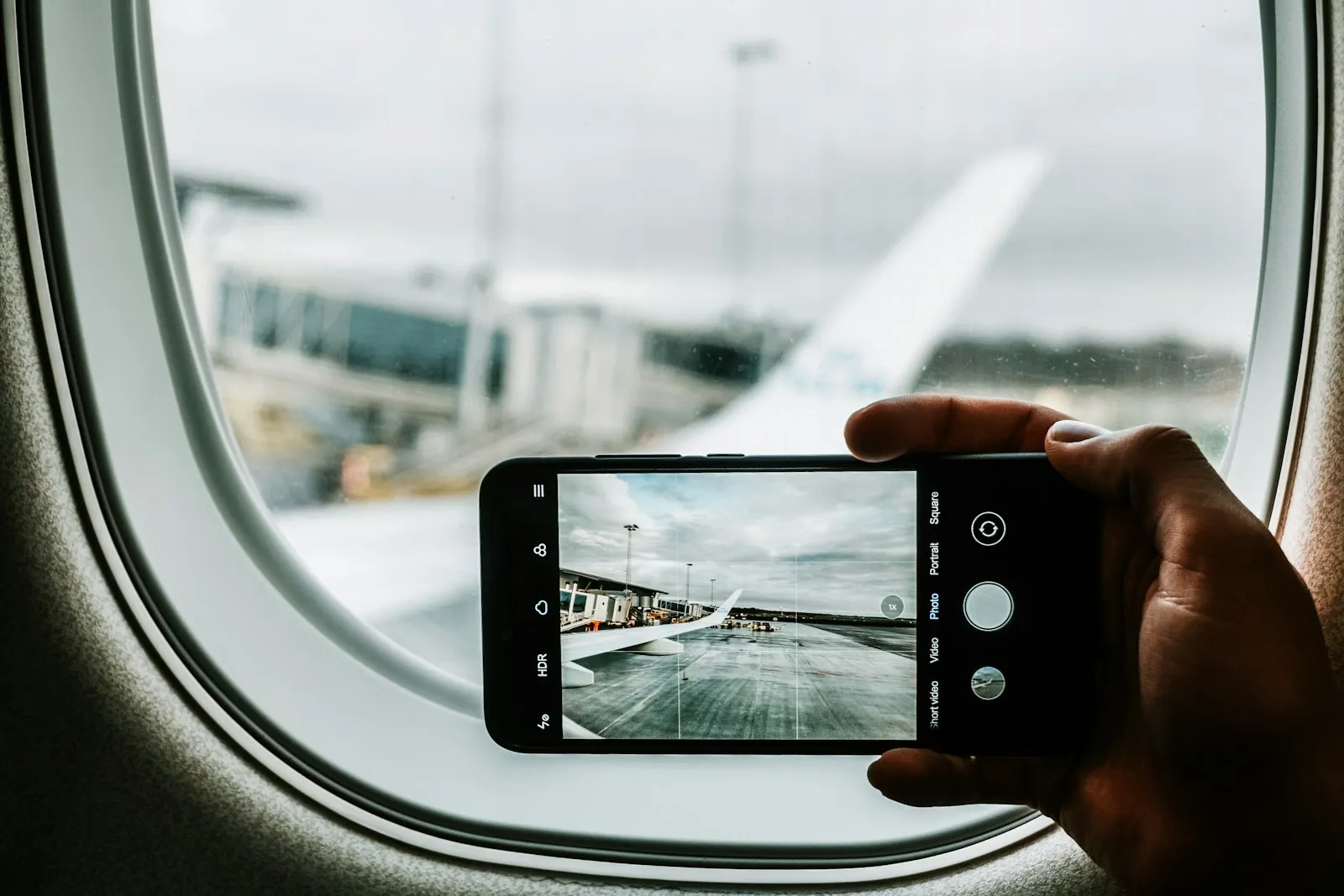
The first thing to say about a GPS for hiking is that your phone is already one. For marked trails inside cell coverage, a phone running an offline map app is genuinely enough, and we cover that setup in our offline maps guide. A dedicated GPS earns its price in the situations phones handle badly: multi-day trips with no outlets, cold that kills lithium phone batteries, rain, drops on rock, and above all, places with no signal where an emergency has to travel by satellite.
So the real question is not “which GPS is best.” It is “what failure am I protecting against.” Here are the three answers that cover almost everyone.
Some links in this article are affiliate links. If you buy through them, we earn a small commission at no extra cost to you. We only link to products we would actually recommend.
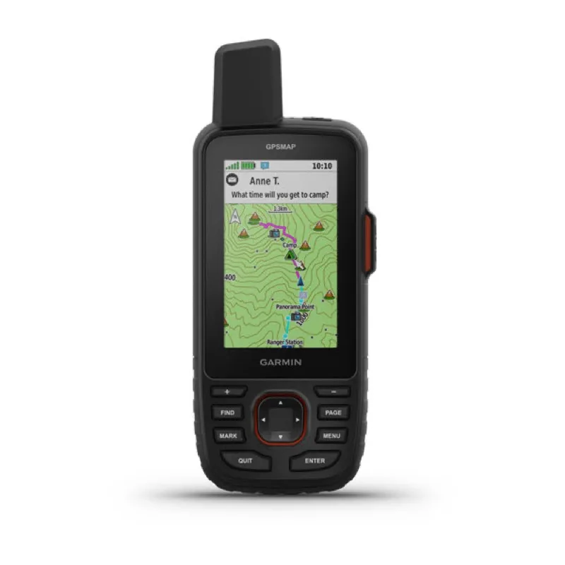
This is the pick if you want one device that replaces both the navigation app and the emergency beacon. The 67i is the unit that field-test roundups at T3 and Hikingguy keep landing on as the top handheld, and the spec that makes the case is battery: Garmin’s official figures are up to 165 hours with inReach tracking at 10-minute intervals, 180 hours in GPS-only mode, and up to 840 hours in expedition mode. That is not a long weekend. That is weeks of navigation on one charge, on a device rated IPX7 for water and built around physical buttons that work with gloves and rain.
Navigation runs on preloaded TopoActive maps with multi-band GNSS, which holds a position lock in canyons and under dense canopy where single-band receivers drift. The inReach side uses the Iridium satellite network for two-way text messaging, location sharing, and an interactive SOS to Garmin’s 24/7 response center.
The honest negatives: $599.99 before the inReach subscription, which is required for messaging and SOS (plans start around $15 a month and can be paused seasonally). It is also a two-handed brick compared to a phone, and the screen is a 3-inch transflective display, not a phone screen. You buy it for reliability, not beauty.
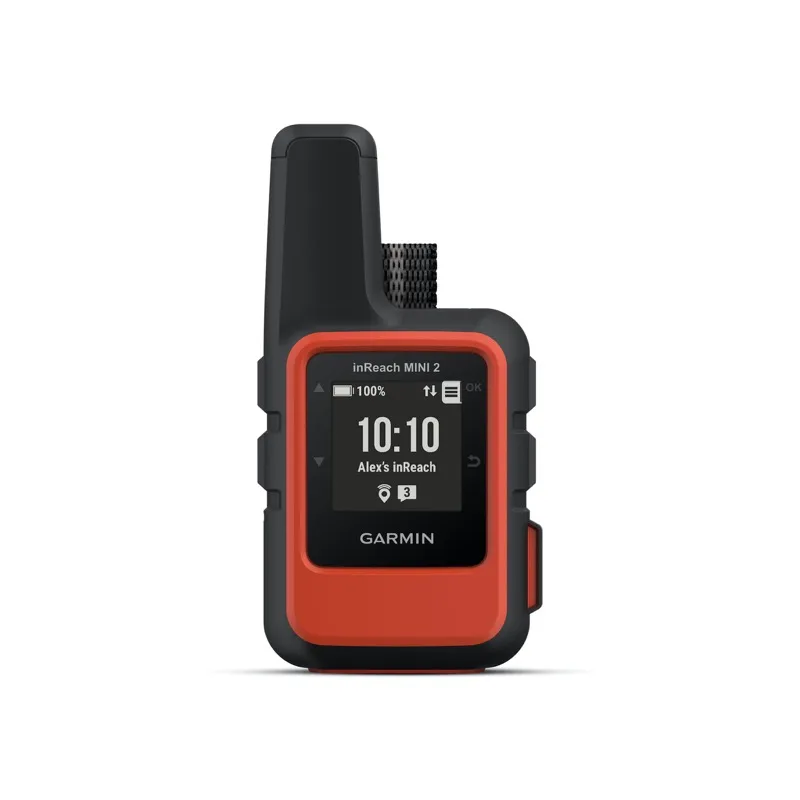
This is the pick for the hiker who navigates happily on a phone and only wants the one thing a phone cannot do: communicate with no cell service. The Mini 2 weighs 3.5 oz and is smaller than a deck of cards, and it does exactly one job brilliantly. Two-way messaging, location tracking, and interactive SOS over the Iridium network, which covers the entire planet. Battery is up to 14 days of use at the default 10-minute tracking interval and up to 30 days at 30-minute intervals, it is impact-rated to MIL-STD-810 and water-rated IPX7, and it pairs with the Garmin Messenger app so you can type on your phone and transmit through the Mini.
The combination of phone-for-maps plus Mini-2-for-emergencies is, for most people, better than one mid-range handheld. Your phone has the better screen and the apps you already know. The Mini 2 removes the one catastrophic failure mode.
The honest negatives: $399.99 is a lot for a device you hope to never really need, the subscription applies here too, and as a navigator on its own it is limited to breadcrumb-style TracBack with a tiny monochrome screen. Do not buy it as your primary map.
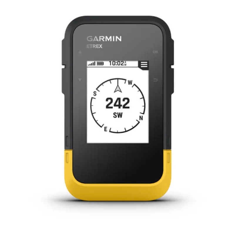
This is the pick if you want a dedicated navigator for the price of a pair of boots. The eTrex SE costs $149.99 and runs on two AA batteries, with up to 168 hours in standard mode and an absurd 1,800 hours in expedition mode by Garmin’s official specs. AA power is the quiet superpower here. There is no charging anxiety, because spares live in the lid of your pack, and lithium AAs keep working in cold that shuts phones down. It weighs 5.5 oz with batteries, is rated IPX7, and uses multi-GNSS reception with a 2.2-inch transflective screen you can read in direct sun.
The honest negatives are the same things that make it cheap. There are no onboard topo maps, navigation is waypoints, tracks, and a breadcrumb trail rather than a rich basemap, and there is no satellite messaging of any kind. It is a superb backup navigator and a fine primary for hikers who travel by track files, but it will not call for help.
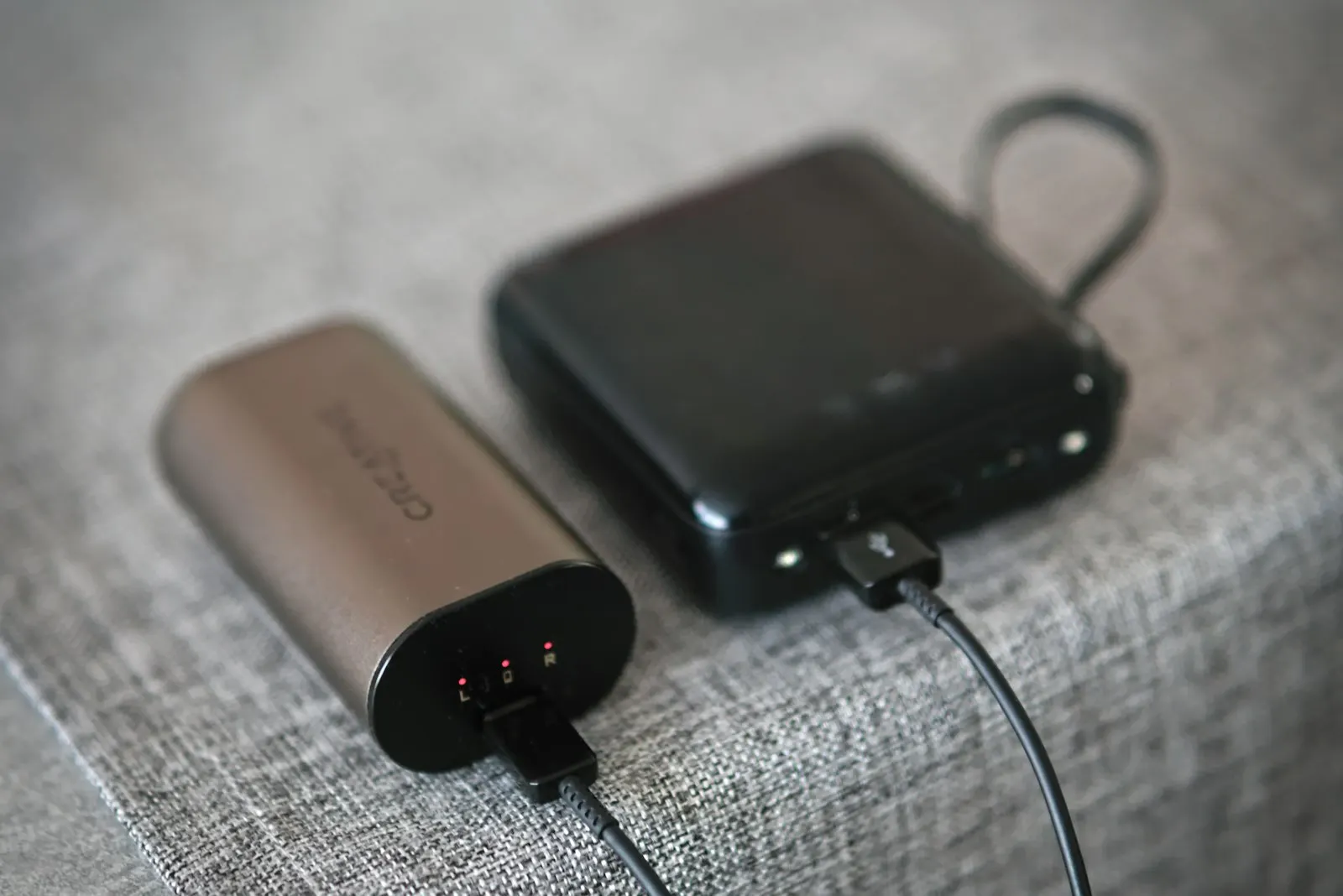
If your hiking is day hikes on marked trails with other people around, spend $0 on hardware and set your phone up properly instead: download offline maps before you leave wifi, put the phone in airplane mode to stretch the battery, and carry a small power bank. Our offline maps comparison breaks down the two best free apps for exactly this, and our power bank guide covers what is worth carrying.
The phone setup fails in predictable places: no signal for emergencies, battery drain in cold, and fragility in rain and drops. Match the device to the actual risk. Frontcountry day hiker, phone plus common sense. Phone navigator going remote, add the inReach Mini 2. Multi-day off-grid trips in real terrain, the GPSMAP 67i is the one-device answer. Tight budget, long trips, no need for SOS, the eTrex SE on lithium AAs will outlast everything else in your pack.
Airalo vs Holafly compared on real USD prices for Japan, Thailand, and Vietnam, daily data caps, hotspot rules, and who each eSIM is right for.
Verdict: Buy Airalo for most trips: it was cheaper than Holafly on every unlimited duration we checked in Japan, Thailand, and Vietnam, it sells fixed-GB plans that cost far less for light use, and it publishes its daily full-speed cap. Buy Holafly only if you want unlimited data sold by the exact day, from 1 to 90 days, and accept paying from $0.50 to about $25 more.
Airalo vs Saily compared on live prices, coverage, calls, apps, support, and Trustpilot scores, with a clear pick for each kind of trip.
Verdict: Airalo is the better default because its prices match Saily's almost to the cent and it adds calls and SMS plans, 3 to 365 day validity, and wider regional coverage. Saily is the better pick if you want a single reusable eSIM, faster in-app support, and a much higher Trustpilot score (4.7 against 4.1).
Anker power bank review for travelers: Laptop 25K 165W, Prime 26K 300W, MagGo 10K Slim and Nano 5K compared by weight, price, Wh, and the recall list.
Verdict: For most travelers carrying a laptop, the Anker Laptop Power Bank (25K, 165W) is the Anker to buy, because it pairs 92.5Wh of capacity with two built-in cables for $119.99. If you only charge an iPhone, buy the MagGo 10K Slim or the Nano 5K instead.